Saying Goodbye To The Kojo Nnamdi Show
On this last episode, we look back on 23 years of joyous, difficult and always informative conversation.

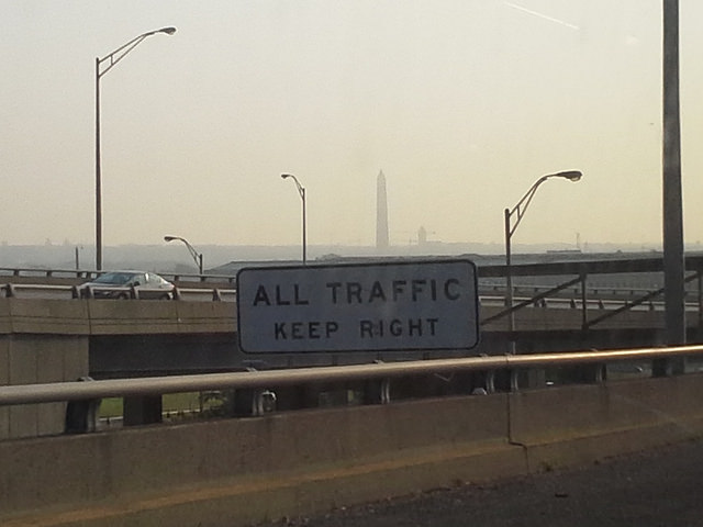
Hot days sometimes prompt ominous, color-coded air quality warnings that spending time outside is unhealthy. In most cities, those air quality readings are generalized from pollution measurements taken once or twice a day at a central location. Now new mapping tools and sensors are providing hyper-local, real-time snapshots of the air we breathe. Using satellite data, mobile devices, and the Internet, environmental scientists are pinpointing when and where our environment can be toxic for our health —- both indoors and out. We get a street-level snapshot of air quality in our region, and find out how the science of measuring the air we breathe is changing.
On this last episode, we look back on 23 years of joyous, difficult and always informative conversation.
Kojo talks with author Briana Thomas about her book “Black Broadway In Washington D.C.,” and the District’s rich Black history.
Poet, essayist and editor Kevin Young is the second director of the Smithsonian's National Museum of African American History and Culture. He joins Kojo to talk about his vision for the museum and how it can help us make sense of this moment in history.
Ms. Woodruff joins us to talk about her successful career in broadcasting, how the field of journalism has changed over the decades and why she chose to make D.C. home.